SHELL
Shell Road Atlases of Britain
From the 1960s to the early 1980s, Shell sold road atlases of Britain as well as sheet maps; in many cases these have been jointly marketed with its principal cartographer, George Philip & Son Ltd. Identical atlases have also often been issued in BP colours or, less commonly, under the National (Benzole) name. Ireland was excluded from all the atlases shown below, although Philip's are understood to have sold a second atlas covering Great Britain and Ireland printed in slightly smaller quantities in 1972 & 1973. More detail about the maps inside Shell atlases is given on the Philip's atlases page.
|
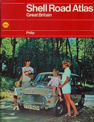
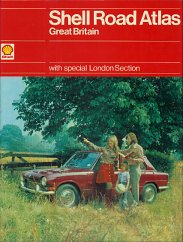
In 1971 (left) and 1973 (right), Shell sheet maps were at a scale of 4 miles to the inch, but the atlas was at the smaller scale of 5 miles to the inch, although using the same cartography. The atlas had 88 map pages and a 72 page index that included London streets. The cover design is similar to that of the maps sold in card covers, although it features a Mini (1971) or Triumph (1973) car rather than a Wolseley. |
|
|
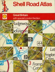
For 1974 and 1975, Shell used a reduced version of the 1:200,000 George Philip cartography provided 64 map pages, plus an additional 24 larger scale map pages of London. |
|
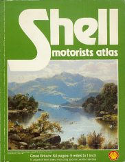
|
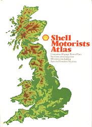
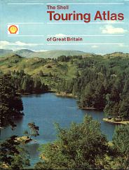
But in 1981 it returned to Philip's, even though it also published an AA-drawn atlas that year. The Philip's atlas was a similar size, but softback, with maps at 5 miles to the inch. It had fewer pages of London maps, but added 15 other city centre maps at 1.5 miles to the inch. |
|
Although it might be expected that more atlases would survive than sheet maps, the converse appears to be true. Most of the atlases were issued with glossy cardboard covers, including a spine that damaged quite easily, rendering them unattractive and so liable to be discarded. Atlases also take up more space; a sheet map can hide for years in the corner of a garage, but an atlas would normally be found and a conscious decision taken about whether to retain it or throw it way. And finally, although a higher proportion of atlases may have survived, relatively few were printed in the first place. Records from George Philip show that in 1972, for example, while there were over 100,000 copies printed of each of the sheet maps, there were only 10,000 atlases printed for Shell. The exceptions are the AA-based atlases, which appear to have been sold in much larger numbers, the 1981 paperback Shell Motorists Atlas (with 50,000 copies printed, but very few survive in anything like a reasonable condition) and the 1983 Shell Touring Atlas, which is still commonly found in its Book Club Associates reprint. (I have no information on its print run, but would guess in excess of 100,000.) More detail about the maps inside these Shell atlases is given on the Philip's atlases page.
|
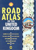
Left is almost the final Shell map of Britain, an A5 format atlas with 90 pages of maps and AA cartography at 1:500,000 (with enlarged urban areas). All 2,500 Shell stations operating in 1993 were numbered, by county, on the map, and listed in an appendix. |
|
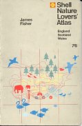
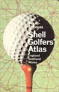
A much earlier atlas took the form of a 1966 Shell Nature Lover's Atlas (left). It had 32 pages of predominantly brown and red maps, overprinted with nature reserves, bird-watching hides, etc. Facing each map was a gazetteer of places for nature lovers to go. Two years later, Shell repeated the format, but for a Golfers' Atlas using red and green maps. The base maps for each atlas were drawn by John R. Flower, who also worked on the shilling guides, described on a later page in this sequence. |
|
Text and layout © Ian Byrne, 2000-13
All original copyrights in logos and map extracts and images are acknowledged and images are included on this site for identification purposes only.

