OK
IC, OKQ8
Brief History
In the 1920s, Swedish petrol (gasoline) prices were almost three times the world average, so a group of motorists formed a co-operative buying company Bilagarnas Inkopscentral to cut the cost of fuel and other products. This organisation used the brand name IC, and a second oil co-op - OK Oljekonsumenterna - was formed in 1945. In 1963 the two merged and in 1969 the OK name superseded IC. Over the next three decades, OK was also used as a brand name by co-ops in Denmark, the Netherlands, Switzerland, Norway and France, although it is no longer used in the last two countries, and the Dutch chain was sold to Tamoil in November 1993.
Swedish OK remains the largest and most influential, with 1.3 million members (20% of all adult Swedes) owning a stake in the organisation. In the early 1990s a complex regrouping took place with a refinery sold to Arab interests and some OK stations switching to the Preem brand, but OK remained the market leader in Sweden. However in 1998 it merged with Q8 and the OK name has now been replaced by a composite OKQ8 identity.
Swedish OK garages were typically large with attached DIY service bays and large shops selling OK-branded accessories. In contrast, in Denmark its stations are mainly unmanned sites associated with co-op supermarkets (usually Brugsen) and in Switzerland they now carry a quite different OK Coop logo, as the chain is controlled by Conoco.
Maps: OK Sweden
|
|
|
 |
|
|
The six images shown above come from Swedish OK sheet maps. The first is the cover of a 1969 Stockholm map, described rather optimistically as a guide. This shows a comprehensive list of services available at all metropolitan OK stations, but has very little on tourist sights. To its right is a 1973 map of Sweden described as a snabbkarta, like the IC maps shown below.
Next is a 1983 map notable for large illustrations of Swedish wildflowers in the marginal areas: it was produced for OK by Esselte Kartor. In common with some other Swedish petrol companies, OK produced versions of its maps for foreign markets. The 1985 map was a co-production with the Swedish Post Office and a group called "Campis" appear to have been involved as well; the map itself is the standard OK design marking their different types of filling station and with wildflower illustrations in the borders.
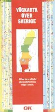
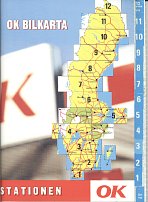
The other two maps come from the 1990s. First is a small format 1994 map, designed to be given away free but still containing a usable map at 1:1,200,000 by KartCentrum. On the right is Folia/LegindKort production using their QuickMap system. This splits Sweden into 6 sections, mainly at 1:1,000,000. All the maps locate OK service stations.
Third parties often combined with OK to produce inexpensive maps for free distribution. Several designs from the IC era to the early 1970s can be found carrying the logo of the Motormans union on the cover, as in the 1969 example shown here which is essentially the same as the 1973 one above. The 1979 map marks all camping sites and was given away by the Swedish tourist board. The second version of the 1985 map is entirely in German, but shares the same three sponsors as the example above. All three of these joint productions still mark all OK filling stations. |
|
|
|
|
|
|
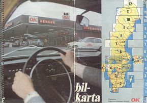
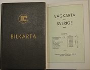
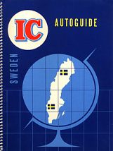
OK also sold folded spiral bound atlases, similar to those from Caltex/Texaco/Preem. The first one (opened out) shows a cover design used from around 1975-81, by which time the cars were beginning to look a little dated. To its right is an example from 1996. Both versions split Sweden into 12 sections, mainly at the scale of 1:650,000. The cartographer on the earlier one was Kartlitografen and Liber Kartor prepared the later one using modern computer cartography. On the right are two typical images from the atlases, showing Luleå; the 1975 image is above the 1996 one. The latter is rather congested by the need to include four OK images; the earlier atlas and most of the sheet maps use a single OK logo to signify its presence in the town.
Maps: OK Norway & Denmark
|
The Norwegian OK chain was never very large and had 77 locations in the early 1970s when this map was published. |
|
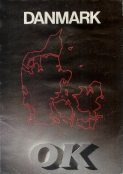
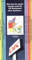
As OK's chain grew, with most stations reliant on customers having an OK card, it became more necessary to guide motorists to their sites, especially as they were often just off the main roads. The sheet map (near right) dates from around 1997 and uses computer cartography and the QuickMap system at 1:500,000. It does locate all OK stations, but this is also done by a free issue booklet (far right) which has six pages of Folia/LegindKort maps as well as addresses and grades of fuel on sale at the 426 sites open in June 1998. OK has now grown to the most extensive chain in the country, so appears to have discontinued issuing locator maps or booklets. |
|
|
Maps: OKQ8 Sweden
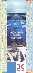
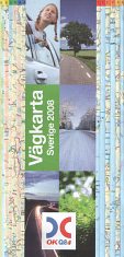
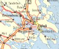
The map (near right) was produced in 2001, three years after the merger of the OK and Q8 interests, and shows the new sign used on all their filling stations. As both OK and Q8 had used Folia's QuickMap system it is no surprise to find the new map also doing so; as before the map scale reduced for the further North sections, from 1:800,000 in Skane, to 1:1,000,000 for most of central and southern Sweden and 1:1,250,000 for the North of the country, including the Luleå extract shown below. |
 |
 |
|
A typical image from the 2001 map, showing Luleå. Note how it has been clarified by using OKQ8 logos of differing sizes to indicate the presence of more than one outlet. |
Maps: IC Sweden
|
|
|
|
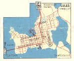
The two IC sheet maps above date from 1958 and 1962 and were both produced by AB Kartlitografen, Stockholm at a scale of 1:1,200,000 (South) and 1:1,500,000 (North). In common with many other Scandinavian maps there are 114 town plans around the edges of the maps: Luleå is shown from the 1962 map. Both are described as being a Snabbkarta, in line with IC's filling stations being known as snabbtanken. The later map shows a joining of the IC and OK logos: variant exist with both names in a single oval (older) and a single IC logo (1965). The M symbol on the left of the map is that of the Motormans automobile association. |
|
|
||
|
On the right is a 1967 IC map, using a design that is beginning to take on the style used by OK for a number of years.
|
|
No maps are known from the Dutch, French or Swiss OK chains.
Text and layout © Ian Byrne, 1999-2011
All original copyrights in logos and map extracts and images are acknowledged and images are included on this site for identification purposes only.








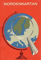
 Finally a 1965 map, similar to the 1962 one, but with the new logo.
