ESSO
British Road Maps from the 1950s
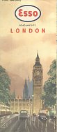
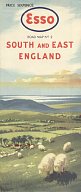
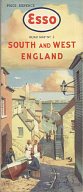
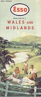
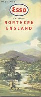
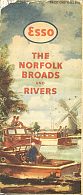
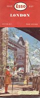
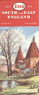
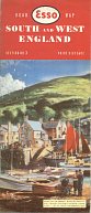
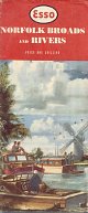
The first two series of Esso road maps of Britain are widely considered to have the finest cover designs, so they are shown here. Both series had an accompanying map of the Norfolk Broads and Rivers.
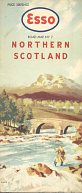
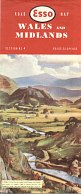
First Series: ca1949 to ca1955
 |
 |
 |
 |
 |
 |
 |
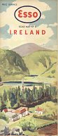 |
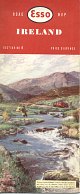
The first series were attributed to BLAKE as the artist, except for Ireland - by BLOFELD - and the anonymous cruising map and section 4. |
 |
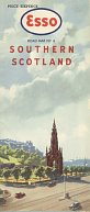
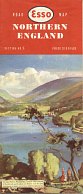
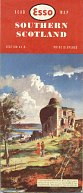
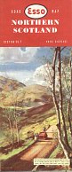
Second Series: ca1956 to 1961
 |
 |
 |
 |
 |
 |
 |
 |
The second series are signed by an artist whose name appears to be Chas Waykiss (or Watkiss?), except for Ireland which is more clearly signed Costelloc. |
 |
Cartography on all the sections was by Edward Stanford Ltd, at a scale of 1:316,800 (5 miles to the inch) for sections 2 to 6. For details of how to date these maps, which carried no copyright date until 1958, please follow this link.

Text and layout © Ian Byrne, 2000-4
All original copyrights in logos and map extracts and images are acknowledged and images are included on this site for identification purposes only.