 Superstore service station road maps - UK
Shortcuts to individual brands
ASDA | Morrisons | Safeway | Sainsbury's | Tesco | Others
Brief History of Supermarket Petrol Retailing
In Britain the main supermarket companies started experimenting with petrol sales in the mid-1970s. Initially they sold major branded petrol, with Asda retailing Texaco, Mobil or Esso (after an initial flirtation in 1967 with the Russian Nafta) and Tesco selling Gulf, Texaco or BP. But J. Sainsbury (then the largest supermarket chain with a powerful own-brand range of groceries) decided to sell its own-brand fuel and the much smaller Key Markets also experimented with its own brand. It was not until almost a decade later that Asda and Tesco followed suit, preceded slightly by the fourth big chain, Safeway. Fifth largest Morrisons sold Shell and then Texaco right up to 2002, when it finally removed third party branding from its yellow and black service stations. Somerfield (including Food Giant) and the Co-op also started selling their own brand of fuel (the latter sometimes under the Pioneer name) and eventually even the upmarket Waitrose chain added some stores with attached petrol stations. British superstores rapidly took over 15% of the total fuel market, although unlike in France they rarely priced more than a fraction of a penny below the major company competitors, except when offering money-off vouchers to foodstore customers. By 2006 Supermarkets collectively operated over 1,150 service stations representing over one third of the market by volume and by 2018 the number of sites had risen to 1,603 with over 45% of petrol sales. Although the food market has been shaken by by the arrival of the German discounters, Aldi and Lidl, they have not added petrol stations at any of their stores, possibly as they would be unable to offer a comparable price discount to that on food items; where they acquired existing sites with petrol sales (eg. the Somerfield in Cirencester) they quickly removed the pumps.
ASDA
ASDA traces its origins to ASociated DAiries, and has always been based in Leeds since its establishment in 1949. In 1999 it was acquired by Walmart of the US; attempts to sell Asda have twice floundered (in 2018, when co,mpetiotion authorities made a sale to Sainsbury's unviable, and again in 2020 when the coronavirus pandemic prevented a partial flotation). Perhaps because of its Northern origins, it gained a reputation as the most price-focused of the Big 4 supermarkets and and retains this reputation for its generally unmanned ASDA automats selling fuel.
|
|
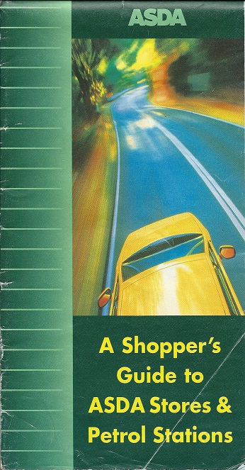
Asda are believed to have only once issued a road map marking petrol stations and stores. Although undated, from the number of petrol stations listed it can be dated to mid-1997. Maps International Ltd produced the map in association with Lovell Johns cartographers at the peculiar scale of 1:1,081,081 (approx. 17.1 miles to the inch); stores are colour coded as being with or without petrol sales, and then listed on the reverse. The map includes 5 enlarged metropolitan areas and 32 inset locator maps, with such unlikely locations as Shoeburyness, Essex. |
|


J.Sainsbury
J Sainsbury started from a single shop in Drury Lane, London in 1869, and rapidly grew to become the English middle classes' favourite chain of food stores. It pioneered grocers' own-brand products in the late 19th Century and by 1939 most of its products carried it own brands. So when the first petrol station was opened in 1974 it carried the Sainsbury's brand: however a few of the SavaCentre hypermarkets have sold Jet-branded petrol.
|
|
Sainsbury's first known maps were in a large format spiral bound atlas from the early 1990s with a simple orange coloured cover.
|
|
|
|
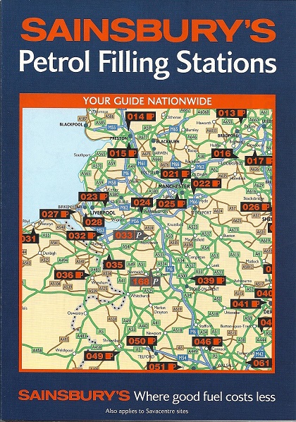
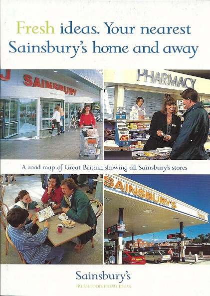
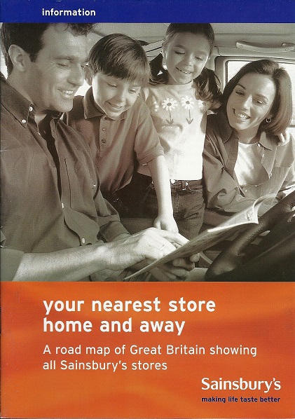
Sainsbury's also prepared map booklets showing all stores, including Homebase outlets. The example (lower left) dates from 1997, uses cartography to a simple design by Ordnance Survey, and has 28 pages (including 15 of maps). The 1998 edition changed two of the cover photos as it also now covered SavaCentre and Homebase stores, and had 19 pages of maps with the same Bartholomew cartography as Tesco (Northern Scotland was omitted). Sainsbury's booklet carried fewer adverts so takes only 36 pages. For 2000, Sainsbury's switched to Oxford Cartographers who drew a more detailed map and reduced the adverts to allow 21 map pages in a 32 page booklet. All the booklets locate J.Sainsbury stores and petrol stations with numbers. |
|


Others
No maps are known from other UK supermarket chains, although Waitrose issues a rudimentary location map showing inter alia its stores selling petrol (and its few petrol stations occasionally gave away the Q8 location map); more recently its sites have switched to selling Shell-branded fuel. After a slow start, the Cooperative Group entered fuel retailing in a big way when it acquired the majority of Texaco's company-owned petrol stations. Over time it has sold some locations, and now runs just under 100 locations under its own Coop brand, as well a larger number of Texaco sites. Regional cooperatives, including Central England and Midcounties, continue to operate sites under The Cooperative Fuel brand; no maps are known bearing either Coop identity.

Text and layout © Ian Byrne, 2000-20
All original copyrights in logos and map extracts and images are acknowledged and images are included on this site for identification purposes only.