Road maps from the Isle of Man |
The Isle of Man is a Crown dependency, but not part of the United Kingdom (or the European Union). As such it has considerable autonomy, despite only being home to around 80,000 inhabitants. Traditionally its petrol market was dominated by the big three from Britain - Shell, Esso and BP - but BP left the island in 1984 and Esso around 2003. (It's not certain if National was also used as a brand by Shellmex-BP.) Total started selling fuel in 1989, and by 2000 had become the largest brand. For many years, Shell had operated through an authorised distributor, Manx Petroleum, which was established in 1926 but it was only during 2010 that the Shell stations were rebranded to a new Manx Petroleum identity.
|

|
|

|

|
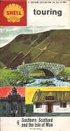
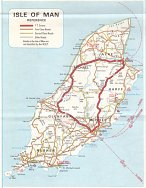
With such a small market, no indigenous oil company maps have been produced for the island. Instead, the Isle of Man was usually included as an inset onto a sectional map. The Shell/BP/National grouping sometimes named the Isle of Man on sections the 1960s and 70s; for 1965-66 it was added to section 6 (Southern Scotland) but from 1967 was moved to section 5 (Northern England). Shell removed the Isle of Man from the section name in 1970. When metric maps were introduced in 1974, the Isle of Man remained with Northern England, although the section tile on National and BP maps was later changed to North England & the Isle of Man (or simply I.O.M. on one National issue). The actual map showed no road numbers until 1967, when most Manx A numbers were included. As the island lacks the additional distinction of primary or trunk routes, all were shown as basic A roads, except for the TT course which was shown using the style of a mainland trunk road. |
|
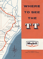
Mobil produced a map (above right) of the Isle of Man TT course in the late 1950s: note that the map is upside down relative to its cover. Dashed red lines indicated good viewing points along the route although the actual map was rudimentary. A later edition is also known with 1962 on a blue panel on the front cover.
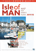
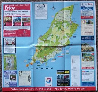
Lily Publications of Ramsey publish a free tourist map of the Island called an All-Round Map. For the past few years the main map inside has carried prominent advertising from Total and marked Total stations (but not the locations of its competitors). In keeping with the island's disdain for Europe, it marks a scale in miles, but not km! |
| 
|
As well as Lily Publications, the Isle of Man did have a commercial cartographer who is known to have produced maps for an oil company. FE Rixon & Co of Port St Mary is credited on a couple of Esso maps of Nairobi thought to date from the late 1960s, as well as on Esso atlases of Kenya and Northern Tanzania. However it is not thought that they did any cartographic work on the Isle of Man itself.
All original copyrights in logos and map extracts and images are acknowledged and images are included on this site for identification purposes only.
