 BP
BP
Maps since 1978
This page looks at road maps issued by BP over the past 35 years. During this period, which has seen much restructuring of its retail network, most BP companies in Europe have greatly reduced or eliminated completely their map programmes, with the exception of its German subsidiary Aral.
Sweden is one of a handful of countries where most companies continue to issue branded maps, although BP has now sold its interests there to Statoil. In the late 1970s there was a move to towards separately branding unmanned discount filling stations, and this is reflected on the map shown below:
")
|

|
|
 The grey cover follows an international style, except for the Mack under the BP logo...but the other is unique to Sweden. The most unusual feature of the map is the use of four different logos for service station branding: a simple BP shield, a BP-Mack combination on a yellow square, a black & white Uno-X and (not shown) a black & white Mack. Mack was used at unmanned discount pumps; BP had bought Uno-X Nord outlets from Burmah but they had almost all gone by the 1982 edition of the same map.
After the the late 1970s, BP maps increasingly took national rather than centrally set designs:.
|
|
Left is an undated BP map of Cyprus. BP had for many years been a strong player in the Eastern Mediterranean, but it lost control of its Northern Cypriot sites after the Turkish invasion in 1974 - this map shows only Greek Cypriot stations.
|
|
|


BP continued to issue sectional maps in Britain and Germany until around 1990 - examples from Britain are shown on the BP UK and BP Germany pages.
|
|
The map shown left is an anonymously produced cross-border issue from around 1983, issued by Deutsche (German) BP but covering Belgium and Luxembourg. Unusually it shows the actual BP sign of the era, with a red band incorporating a white chevron below the BP shield. |
|
|


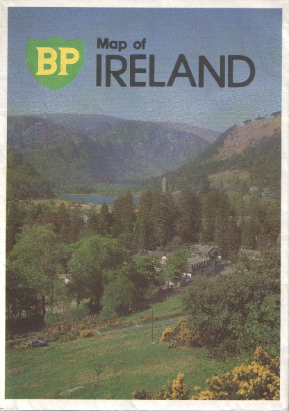
By the mid 1980s BP's Irish subsidiary had decoupled from the UK BP map programme. Its 1985 map was produced by the Irish Ordnance Survey at the ungenerous scale of 12 miles to the inch, but did include larger scale maps of Dublin, Cork, Belfast, Limerick, Waterford and Galway as well as well as slightly larger scale maps of the Boyne Valley, Killarney area and Rosslare Harbour. Unlike the Belgian or Irish examples, the Portuguese map was pasted into light card covers.
Irish map courtesy of Richard Horwitz
The final Shield and Helios logo maps
Maps from the late 1980s and 1990s bearing the italicised BP shield are much less common.
|
|
|
The 1993 map of Sweden (far left) has probably the most boring map cover ever issued in Europe. Inside it marked BP stations by its logo, as well as Statoil and Uno-X stations with a green and yellow petrol pump, as they also accepted BP-conto cards. The map was prepared by Kartguide Jannerstad Liljekvist at 1:1.1million. |


 |
The street plan of Wels at 1:12,500 (left) is a rare example of a map produced for a single BP station. It dates from around 1993 as it refers to the map publisher, Städte-Verlag having been operating for over 40 years. |
|

This is another example of a road atlas sold by BP around 1998 after its merger in Europe with Mobil. Each map (there are 23 covering the Netherlands, plus six full page city maps) locates all Dutch BP stations and lists them by address on the facing page. The maps were prepared by Suurland Falkplan at a scale of 1:250,000. It also locates BP, Aral and Burmah stations in adjoining Belgium, but not in Germany. |
|
 The French market was notoriously unprofitable due to fierce competition from low cost sites attached to hypermarkets. BP drastically cut back its chain, pulling out of several parts of the country, but even after the merger with Mobil's retail operation still had 700 sites when this leaflet map was issued in 1998 for the European Cup. Opening out into a strip 65cm long x 7.5cm tall, it contained basic maps of the 10 cities hosting football matches, with dates when they should be avoided by motorists.
 |
BP has also sold maps in Poland, where it rapidly grew to become the second largest brand of petrol after the market was liberalised in the early 1990s. It has produced a number of sheet maps including the city of Lodz (left), specially printed for BP by Daunpol. BP's 1997-8 series includes maps of Warsaw, Krakow, Katowice and, of course, Poland itself. All mark BP sites, on either the main map or an inset map. In 2001 a revised series featuring the BP sunflower appeared, the first map to incorporate this new logo. BP Polish maps courtesy of Michal Okonek and Jon Roma. |
 |
 |
In the Netherlands, BP sold a customised version of the Post Office's national street atlas (left), in an attempt to compete with a long standing Shell volume. Larger than the Shell atlas, it had over 1,200 pages including the index, but was let down by being printed on poor quality paper. The 782 pages of maps by Andes show every BP station in the country - even though within a year of its publication (May 2001) many were sold off to Total and other companies. |
|
Very few BP maps are known from the 2000s. The most recent example is another comprehensive road atlas (above right), again from Poland but dated 2004. National cartographer PPWK provided a customised hardback atlas with over 810 pages of maps and indexes. Poland was covered at 1:220,000, with some 60 cities provided with town plans in the first half; the second half of the atlas mapped Europe at 1:1,000,000. A planning map on the rear endpaper showed all BP station locations, and between the two halves a number of pages of glossy BP adverts were included. This is one of the most expensive oil company maps ever sold, retailing for Zl.79 (over €20). |
||

|
I suspect that there will be more BP maps than the handful shown here (and on the UK page) bearing the two most recent BP logos. In particular, I suspect that there may have been sheet maps issued by the BP subsidiaries - since sold - in the Czech Republic, Slovakia and Hungary. |

|

Text and layout © Ian Byrne, 1999-2014
All original copyrights in logos and map extracts and images are acknowledged and images are included on this site for identification purposes only.